Trail Descriptions
 The cross-country ski trail network at CHNSA has, over the last few years, been undergoing a gradual transformation that will continue for some time. With unprecedented access to dramatic, higher elevation terrain, we now have the opportunity to expand the trail network in an exciting direction. First time skiers at CHNSA will find that there are essentially two different areas of the trail network to explore, each with its own distinct character. Skiers familiar with CHNSA history over the years may note that there is no longer parking or trail access to CHNSA trails from the former Handy Road parking area.
Parking for CHNSA is now located at the height of land on Bert White Road and offers ready access to the core network of groomed trail on gentle to moderate terrain. Those preferring more of a backcountry skiing experience will look to the higher elevation terrain in the north and east sectors of the trail map in Camel’s Hump State Park, including the more challenging Lion’s Ridge, the Honey Hollow section of the Catamount Trail, and the much longer Camel’s Hump Challenge Trail that circumnavigates Camel’s Hump.
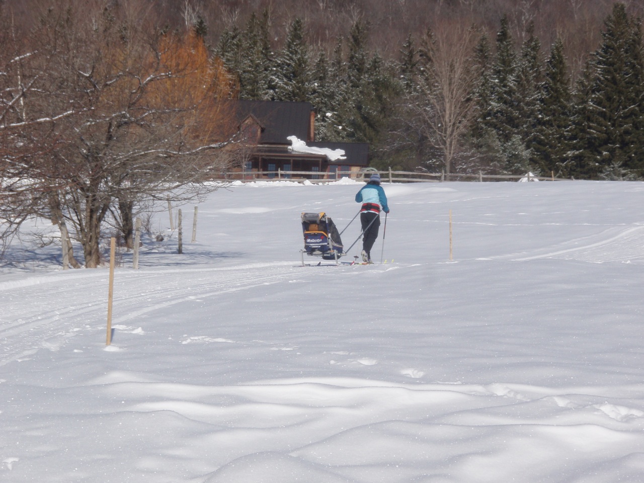
 The groomed option for skiers is the terrain surrounding Cobble Hill and scenic Windekind Farm. One can take Marijke’s Mainline and Jackrabbit south across the road, or extend a loop onto The Sugarbush. Skunk Brook to Dead River Run ultimately leads to breathtaking views from Windekind Farm, a scenic gem tucked away at the end of the road. Or, take the gentle climb up Dead River Run to Big Baldy or Hale Woods. A more recent favorite route takes skiers over gentle terrain on Big Baldy to Crow’s Foot, a groomed route topping out at 2000’ or further up toward Bald Hill and the Gateway Loop. Northern Lights takes one across the top of an open meadow for a dramatic Adirondack skyline view before heading into the woods toward Gullywhumper. From Gullywhumper, find your way back to parking via Stagecoach Road, The Snake, and Bear Scat Draw, completing the loop with a great roller coaster ride. The backcountry Cobble Hill is no longer just backcountry.·The north side of Cobble Hill has been re-routed for grooming to an 1800' scenic summit. The south side of Cobble Hill has also been re-routed as a more skier-friendly backcountry powder run that now exits onto Skunk Brook trail. Further up Stagecoach Road, skiers will come across a yurt and a unique, 6-sided frame hut (currently under construction during winter, 2020), that will soon be available to rent during the ski season through the VT Huts Association.
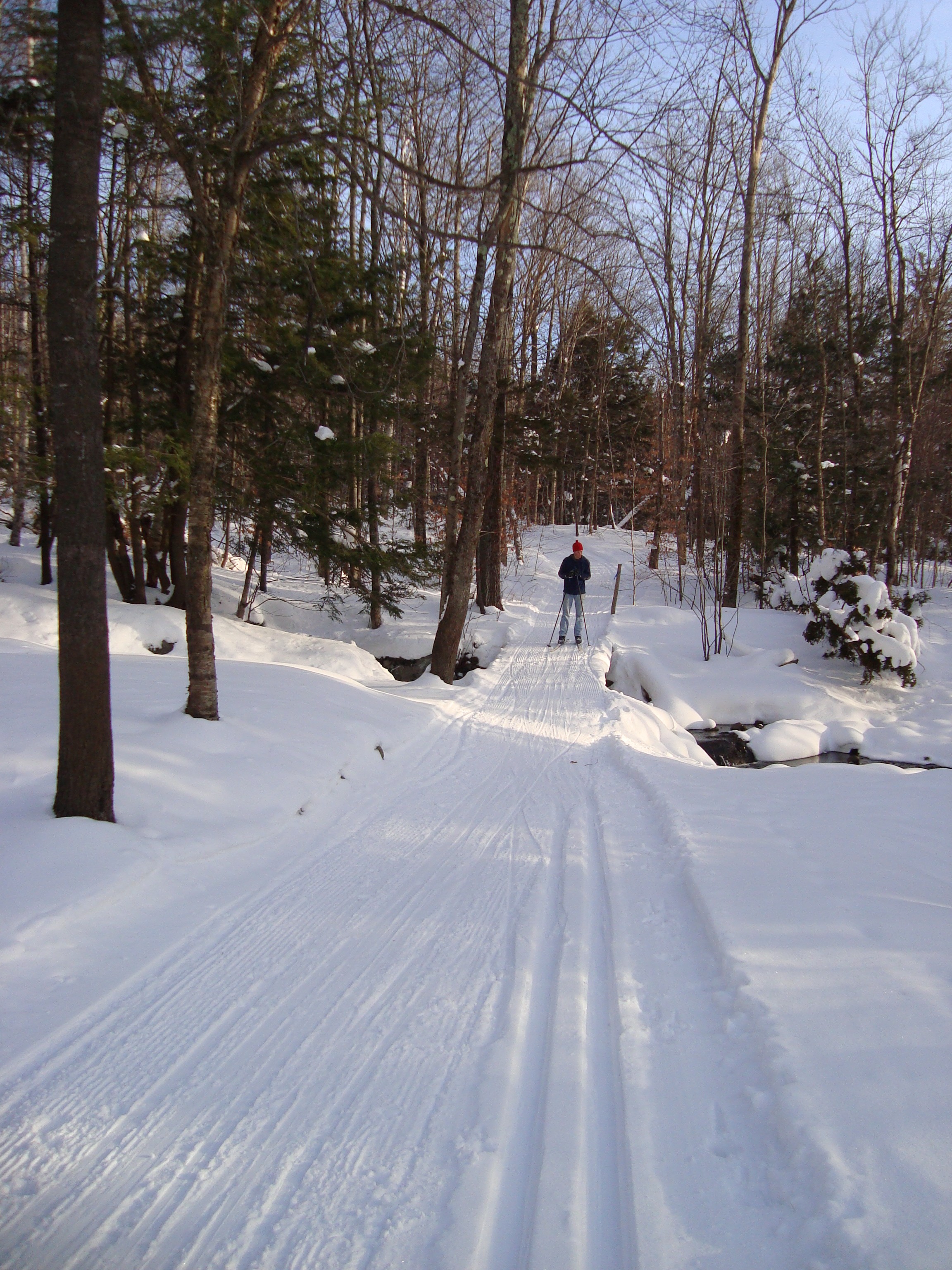
For those preferring more adventure on backcountry ski terrain, the north and east portions of our trail network take one to ungroomed trails and the highest elevations on the network. Stagecoach Road leads to the Catamount Trail and Camel’s Hump State Park, where the Lion’s Ridge trail loops around on a gentle shelf above 2000’ offering the most dramatic views of Camel’s Hump you will find in the area. Make sure you have your camera for this trip! If you’re interested in a longer distance ski, park a second car at the maintained parking lot on the River Road in Bolton, just east of the Honey Hollow Road, then drive back to CHNSA and head for the Honey Hollow section of the Catamount Ski Trail which descends 1500 vertical feet to the Winooski River. The newest addition to the backcountry terrain is the granddaddy of distance treks in our area, the Camel’s Hump Challenge Trail, a naturally “challenging” 20k ski that circumnavigates Camel’s Hump and should be skied in a group, allowing five to six or seven hours, depending on your level of expertise and experience. A fun route combining backcountry and groomed terrain takes one clockwise around Crow Hill, from the Honey Hollow Trail to the Challenge Trail and then on a long downhill from the Gateway Loop back to civilization.